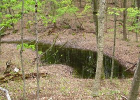
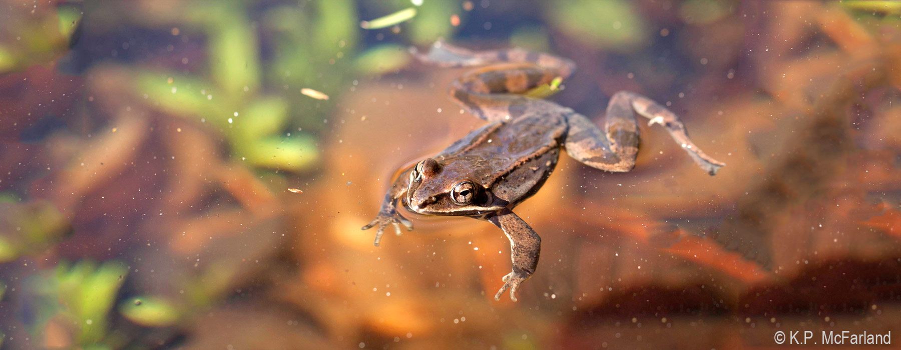
VCE'S bio-mapping expertise now extends to vernal pools across the entire Northeast. We've compiled a master database of known and potential vernal pool locations from Nova Scotia to Virginia. It's an important first step in regional conservation of these vibrant and over-looked wetlands.
The project unifies vernal pool mapping projects in Vermont, Massachusetts, New Jersey and other states. It also incorporates data previously scattered among conservation organizations, land trusts, universities, herp atlas projects, municipalities, and environmental consultants.
 Currently, the Vernal Pool Data Cooperative consists of more than 61,000 vernal pool locations submitted by cooperators from ten states and two Canadian provinces.
In addition to compiling a database of vernal pool locations, we also worked with the University of Vermont to develop a method to identify potential vernal pools using Light Detection and Ranging (LiDAR) technology and object-based image analysis. LiDAR uses laser light pulses to help reveal highly detailed information about the landscape without setting foot in the woods.
Development of the VPDC was funded by a Priority Science Grant from the North Atlantic Landscape Conservation Cooperative (NALCC), in order to advance vernal pool conservation by improving knowledge of vernal pool distribution within the North Atlantic Region.
Results
Download the Vernal Pool Data Cooperative Final Report (4 MB, PDF).
Download or view the VPDC data on the NALCC Conservation Planning Atlas:
Level 1 data from DE, MA, NH, NJ, VT and Quebec are unrestricted and available for download on the Conservation Planning Atlas.
Level 2 data from ME, MD, NH, NY, PA, VA, and Novia Scotia are restricted and only available for viewing on the Conservation Planning Atlas.

