
The Mountain Birdwatch season opened on June 1, and I confess, I’ve been counting down the days for weeks. Months, maybe. MBW consists of 130 high-elevation survey routes in the spruce-fir forests of the northeastern United States, and our amazing team of volunteers surveys most of these routes in the month of June. In fact, this year, volunteers have adopted 120 of our routes, higher than any year since we revamped the project in 2010.
Of course, not all routes get adopted. Some routes languish in unpopulated areas of northern New Hampshire or western Maine; the distance from most major population centers makes these routes less attractive to volunteers. Other routes involve long drives along logging roads using a 4WD vehicle. And some routes are just peculiar- who’s ever heard of the Merrill Strip in northwestern Maine, and who wants to hike an old logging road that has grown in as a muddy, blackfly-infested wetland?
Throughout the year, my job as Mountain Birdwatch director involves recruiting and training volunteers, overseeing technicians and interns, analyzing data, securing funding, and writing papers and reports. But in June, I become the clean-up hitter. I embrace the rejects. Those unpopular routes that beg to be adopted- those are mine.
So it was with great anticipation that I headed to the Connecticut Lakes region of northern New Hampshire on Friday night to survey Magalloway Mountain, a route I had never before visited. Mountain Birdwatch surveys often involve strenuous hikes along steep trails to reach remote survey areas in the spruce-fir forest. Camping is not permitted near all of our routes, so many of our volunteers hike these trails in the dark, beginning at 2 or 3 a.m., to reach their first survey station 45 minutes before sunrise. Not so our Magalloway Mountain route, accessible by mountain road and with a parking lot 60 meters from our second point. In fact, despite the 800 feet of elevation gain over the .8 mile trail, I was thrilled to discover that this route is quite cushy. The second survey station boasts some of the comforts of home in the form of a toilet, and the third survey station offers a comfortable seat to enjoy during the 20 minute bird count.
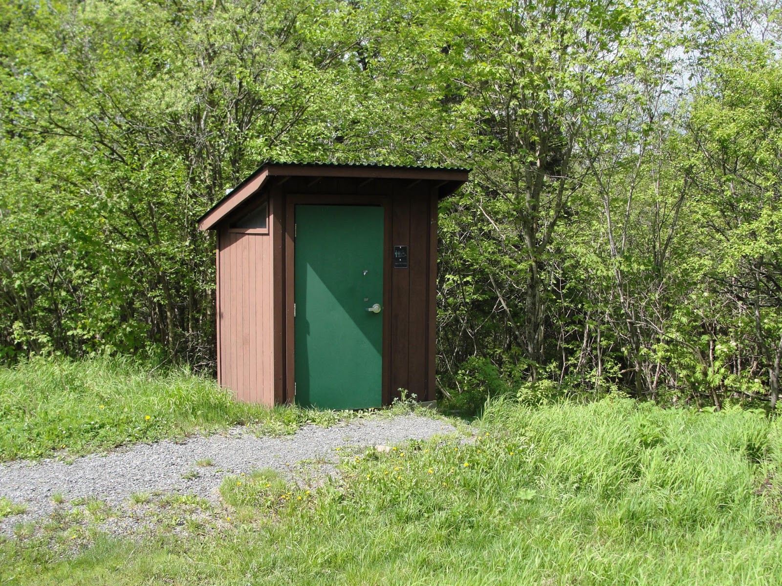 |
| All the comforts of home… or at least a toilet. |
 |
| My luxurious chair at the third survey station |
With my alarm set for 3:50 a.m., a painful number if ever I saw one, I fell asleep to the yelping and yowling of coyotes. The moon and stars beamed at me on this perfectly clear night. I anticipated my alarm and awoke at 3:48 (ouch), using only moonlight to navigate to my first point.
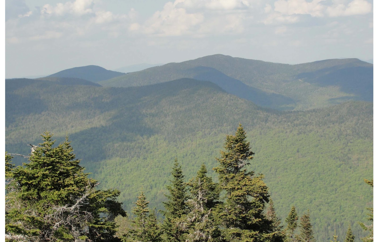
The surveys consist of 20 minute point counts at six survey stations spaced 250 meters apart, and the Magalloway route starts at 775 meters elevation and ascends to 1026m. At my first point, Swainson’s Thrush and White-throated Sparrow sang heartily through the darkness, joined by Winter Wren as dawn approached. As I climbed higher, these ubiquitous birds were joined by our spruce-fir specialists, a Blackpoll Warbler at our three highest points, and even a Bicknell’s Thrush, MBW’s flagship species, at point 5. Before I became the Mountain Birdwatch director, I specialized in animal vocal communication, and this particular Bicknell’s had a fascinating song. Most Bicknell’s Thrush sing a song with two parts- two introductory notes followed by 3-4 nasal, fluty notes that fall and then rise. This unusual bird sang his intro notes, produced a falling and then rising phrase, and then immediately sang the 3-note conclusion to his song again, this time in a different key. There is some individual variation in song even between songbirds of the same species, but young males of many species will practice their song as they learn, experimenting with less-than-perfect versions of a species-typical vocalization. This bird could have been a young scout, searching for a place to “set up shop”, or just an individual singing particularly vigorously.
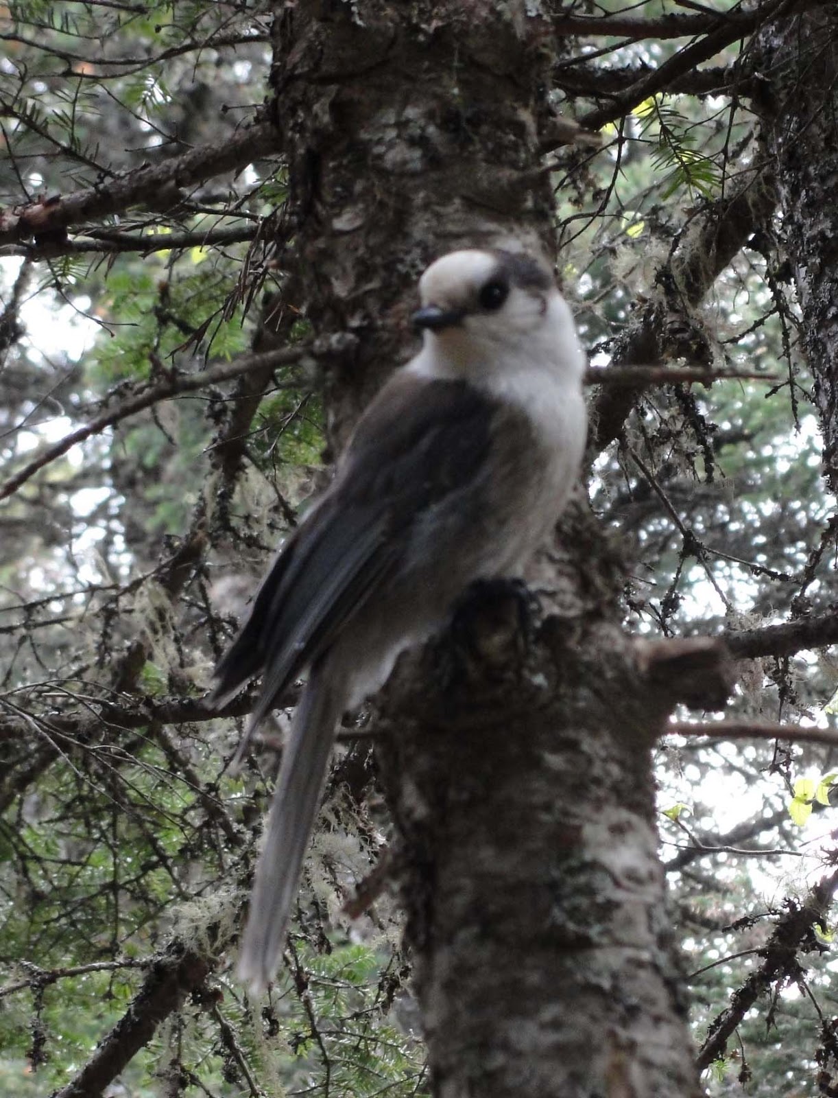
Listening hard for our target species during my final survey at the top of the mountain, I heard a quiet mewling sound, followed by a gentle scuffling. Turning, I caught a glimpse of a flash of gray as a bird flew across the trail and landed in a tree only a few meters from me. Little noises across the trail revealed the second member of this Gray Jay pair, who hopped up to where I sat motionless on the trail. Talk about testing my abilities to focus- it was pretty tough to concentrate on my point count with these guys softly chattering away almost directly in my ear!
 |
| “Are you here to feed me?” |
 |
||
| Why hello there, Canada! |