Once you’ve adopted a Mountain Birdwatch route, you’re ready to start preparing for your June adventure! You’ll find everything you need below.
Is this your first year doing Mountain Birdwatch?
Welcome! Please read this 5-point checklist to jumpstart your adventure. We recommend starting preparations in April so you have time to peruse all of the materials listed below and learn the birds and the protocols.
Training Resources
- Review the condensed version of the Mountain Birdwatch Training Manual, and print it out or download it to your phone to have with you in the field. (There’s a longer, more in-depth Mountain Birdwatch Training Manual, but that’s probably more info that most of us need!)
- Thinking about adopting a route, but want more information? Thinking about taking on a second route this season, but not sure you can do it? Register for one of our Zoom Online Mountain Birdwatch Q&A Lunch Sessions, every Wednesday from March through the first week of June. These sessions are tailored to the needs of folks who show up–no appointment necessary, so anyone is welcome to drop in for any amount of time. If lunchtime on Wednesday doesn’t work for you, email Jason Hill at jhill@vtecostudies.org for a one-on-one Zoom at a time of your convenience.
- Review the audio tracks and practice the bird song quiz (see expandable list below). Use this ID cheat sheet to help remember the vocalizations our 10 monitored bird species & red squirrel.
There are multiple ways to build your bird vocalization skills for Mountain Birdwatch. Because most detections are auditory, developing strong listening skills is essential.
Practice identifying songs and calls of Mountain Birdwatch focal species and similar spruce-fir birds.
This interactive quiz was created by a fellow Mountain Birdwatcher to support training efforts.
Note: This tool is not maintained or managed by the Vermont Center for Ecostudies.
Alternatively, explore our narrated audio training tracks (1–18) below, available combined, or individually on SoundCloud for a more in-depth experience.
There are long stretches of silence in these audio tracks—that’s normal, just like what you’ll experience in the mountains in June! Don’t worry about estimating distance to the birds—just practice filling out the datasheet and becoming more familiar with these species’ vocalizations.
-
- Track 1: Introduction
- Track 2: Bicknell’s Thrush
- Track 3: Swainson’s Thrush
- Track 4: Hermit Thrush
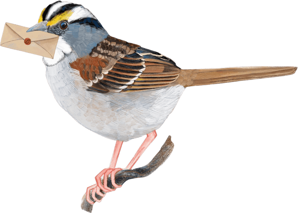
- Track 5: White-throated Sparrow
- Track 6: Fox Sparrow
- Track 7: Winter Wren
- Track 8: Blackpoll Warbler
- Track 9: Black-capped Chickadee
- Track 10: Boreal Chickadee
- Track 11: Yellow-bellied Flycatcher
- Track 12: Red Squirrel
- Track 13: Compare Bicknell’s Thrush, Veery
- Track 14: Compare Winter Wren, Ruby-crowned Kinglet
- Track 15: Compare Blackpoll Warbler, Cape May Warbler, Bay-breasted Warbler
- Track 16: Compare Blackpoll Warbler, Dark-eyed Junco
- Track 17: Compare Lincoln’s Sparrow, Fox Sparrow
- Track 18: Compare Least Flycatcher, Yellow-bellied Flycatcher
Here’s a simulated 20-minute point count audio file (click the black play bar). All of the vocalizations in this file were included in the above 18 tracks. If there’s a vocalization that you don’t recognize, then take a moment to re-listen to the above tracks. Once you’re feeling good about your bird ID ability, proceed to the quiz (tracks 19 and 20).
Track 19: Instructions for the quiz (track 20)
Print out some datasheets and take the audio quiz (Track 20) a few times, then look at the key (provided below).
Track 20: Quiz and the Quiz Identification Key (no peeking until after you listen to Track 20!)
How did you do? Listen to the audio tracks as many times as needed until you have a good grasp on these species’ vocalizations.
Next, check out the protocol video, where we’ll walk you through a mock point count and fill out the data sheet together. (Bird and squirrel vocalizations generously provided by the Macaulay Library at the Cornell Lab of Ornithology.)
Print these materials to take with you in the field. It is a good idea to review these materials in April and May to ensure that you are comfortable with them before go time.
- 1 Condensed version of the Mountain Birdwatch manual.
- 1 or more Route document(s) for your adopted route(s). These documents tell you where the sampling stations are, how to find them, where to camp, where to park, etc.
- 3-6 Blank datasheets: You’ll need a blank datasheet for each of the three to six sampling stations on your route.
- 1 Comment page. You can put comments for all of the sampling stations on a single copy of the comment page.
Congratulations! You have survived the black flies, arrived at your mountain route before the sun, located your survey stations, and maybe even heard a Bicknell’s Thrush or a Winter Wren. There are just a few more steps to complete your Mountain Birdwatch community scientist commitment.
- Notify the MBW director Jason Hill at jhill@vtecostudies.org that your survey is complete as soon as you complete your survey.
- Double-check your data to ensure accurate tallies of each species at both distance classes. Please review while the experience is still fresh in your mind, which gives you the best chance of catching mistakes.
- Submit your data online. Our incredible colleagues at the Forest Ecosystem Monitoring Cooperative have made this experience as easy as tracking a moose in the snow. The database is incredibly intuitive. Please enter your data online by July 15th so our interns have time to proof your data before they leave us in early August.
- Send in your data sheets.
Option 1: make photocopies of your datasheets (for safe keeping) and mail the originals to Jason Hill at Vermont Center for Ecostudies, PO Box 420, Norwich, VT 05055.
Option 2: Take high-quality photos or make high-quality scans and email them to Jason at jhill@vtecostudies.org. Please e/mail in your data by July 15th so that our seasonal interns can proof your data. - Treat yourself to a maple creemee. Well done.